Für LiDAR Polygonspiegel und Scannermotoren Vol.2
Für LiDAR Polygonspiegel und Scannermotoren Vol.2
Kapitel 5
Learn more about LiDAR
What is LiDAR?

The word “LiDAR” is an abbreviation for “Light Detection and Ranging”. It's an optical sensor technology that measures the distance to an object by irradiating an object with a laser beam while scanning it and measuring the time required for the object to bounce back, and identify the position and property of the object.
The development of LiDAR was originally utilized as a survey technique for measuring topography, buildings, forestry structures, etc. by loading it on artificial satellites and airplanes. Recently, small and light-weight LiDAR have also been developed, and they can be mounted on UAV (drone), which are unmanned airplanes, and surveyed to generate precise 3D mapping data.
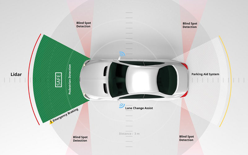
In addition, LiDAR is expected to play an important role in the field of autonomous driving by utilizing its advanced visual recognition functions. LiDAR is used to create 3D mapping data and to recognize the surrounding environment (pedestrians, cars, etc.) required for autonomous driving.
Roles played by LiDAR in autonomous driving
Even if it is said to be an autonomous driving, level segments of automation are clearly defined.
The image of “Level-Classification of Automated Driving Systems” based on the SAE (Society of Automotive Engineers) announced from U.S. NHTSA (National Highway Traffic Safety Administration) is shown below for reference.


